Canada Topographic Maps

Rivière Magpie Topo Maps

Topography maps and Latitude/Longitude Location

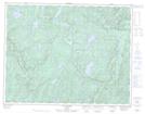
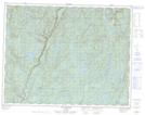
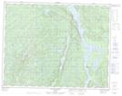
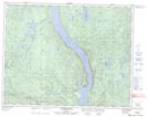
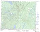
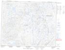
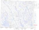
Maps showing Rivière Magpie, Rivière-Saint-Jean; Minganie, Quebec

Rivière Magpie is a River located in Rivière-Saint-Jean; Minganie, Quebec and has an elevation of 124 meters.

  • Latitude: 50° 19' 11'' North   (decimal: 50.3197222)
  • Longitude: 64° 27' 32'' West   (decimal: -64.4588889)
  • Topography Feature Category: River
  • Geographical Feature: Rivière
  • Canadian Province/Territory: Quebec
  • Elevation: 124 meters
  • Location: Rivière-Saint-Jean; Minganie
  • Atlas of Canada Locator Map: Rivière Magpie
  • GPS Coordinate Locator Map: Rivière Magpie Lat/Long

Rivière Magpie NTS Map Sheets

022I08 Mingan Topographic Map at 1:50,000 scale

022I09 Lac Esnault Topographic Map at 1:50,000 scale

022I10 Lac A Renard Topographic Map at 1:50,000 scale

022I15 Lac De La Mine Topographic Map at 1:50,000 scale

022P02 Riviere Baune Topographic Map at 1:50,000 scale

022P07 Lac Catignan Topographic Map at 1:50,000 scale

022P10 Lacs Belmont Topographic Map at 1:50,000 scale

022P11 Lac Fournier Topographic Map at 1:50,000 scale

022I Lac Manitou Topographic Map at 1:250,000 scale

022P Lac Fournier Topographic Map at 1:250,000 scale

 
Buy Topographic Maps DVD
Newsletter Sign-up

Yes, I want to receive map store discounts.


Bookmark and Share