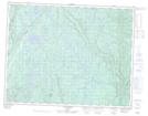
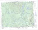
Maps showing Rivière McDonald, Rivière-Nipissis; Sept-Rivières, Quebec
Rivière McDonald is a River located in Rivière-Nipissis; Sept-Rivières, Quebec and has an elevation of 430 meters.
- Latitude: 50° 31' 30'' North (decimal: 50.5250521)
- Longitude: 66° 3' 42'' West (decimal: -66.0615976)
- Topography Feature Category: River
- Geographical Feature: Rivière
- Canadian Province/Territory: Quebec
- Elevation: 430 meters
- Location: Rivière-Nipissis; Sept-Rivières
- Atlas of Canada Locator Map: Rivière McDonald
- GPS Coordinate Locator Map: Rivière McDonald Lat/Long
Rivière McDonald NTS Map Sheets