Canada Topographic Maps

Miller Topo Maps

Topography maps and Latitude/Longitude Location

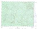
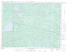
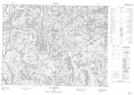
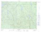
Maps showing Miller, Lac-au-Brochet; La Haute-Côte-Nord, Quebec

Miller is a Geographical area located in Lac-au-Brochet; La Haute-Côte-Nord, Quebec.

  • Latitude: 49° 00' North   (decimal: 48.9999999)
  • Longitude: 69° 55' West   (decimal: -69.9166666)
  • Topography Feature Category: Geographical area
  • Geographical Feature: Canton
  • Canadian Province/Territory: Quebec
  • Location: Lac-au-Brochet; La Haute-Côte-Nord
  • Atlas of Canada Locator Map: Miller
  • GPS Coordinate Locator Map: Miller Lat/Long

Miller NTS Map Sheets

022C13 Riviere Portneuf Est Topographic Map at 1:50,000 scale

022D16 Lac Poulin-De-Courval Topographic Map at 1:50,000 scale

022E01 Lac Portneuf Topographic Map at 1:50,000 scale

022F04 Lac Isidore Topographic Map at 1:50,000 scale

022C Rimouski Topographic Map at 1:250,000 scale

022D Chicoutimi Topographic Map at 1:250,000 scale

022E Reservoir Pipmuacan Topographic Map at 1:250,000 scale

022F Baie-Comeau Topographic Map at 1:250,000 scale

 
Buy Topographic Maps DVD
Newsletter Sign-up

Yes, I want to receive map store discounts.


Bookmark and Share