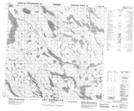
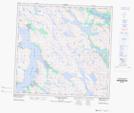
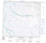
Maps showing Colline Nasaujaq, Rivière-Koksoak; Kativik, Quebec
Colline Nasaujaq is a Mountain located in Rivière-Koksoak; Kativik, Quebec.
- Latitude: 58° 30' 18'' North (decimal: 58.5048860)
- Longitude: 65° 56' 39'' West (decimal: -65.9441355)
- Topography Feature Category: Mountain
- Geographical Feature: Colline
- Canadian Province/Territory: Quebec
- Location: Rivière-Koksoak; Kativik
- Atlas of Canada Locator Map: Colline Nasaujaq
- GPS Coordinate Locator Map: Colline Nasaujaq Lat/Long
Colline Nasaujaq NTS Map Sheets