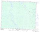
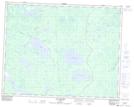
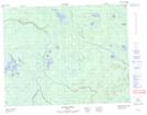
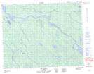
Maps showing Rivière Nottaway, Baie-James; Jamésie, Quebec
Rivière Nottaway is a River located in Baie-James; Jamésie, Quebec and has an elevation of 46 meters.
- Latitude: 51° 22' 34'' North (decimal: 51.3761111)
- Longitude: 78° 55' 46'' West (decimal: -78.9294444)
- Topography Feature Category: River
- Geographical Feature: Rivière
- Canadian Province/Territory: Quebec
- Elevation: 46 meters
- Location: Baie-James; Jamésie
- Atlas of Canada Locator Map: Rivière Nottaway
- GPS Coordinate Locator Map: Rivière Nottaway Lat/Long
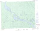
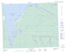
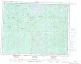
Rivière Nottaway NTS Map Sheets
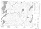
032K03 Lac Soscumica Topographic Map at 1:50,000 scale
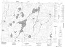
032K04 Lac Bouchier Topographic Map at 1:50,000 scale
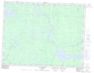
032K05 Lac Maurice Topographic Map at 1:50,000 scale
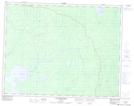
032K06 Lac Chabinoche Topographic Map at 1:50,000 scale
032K12 Chute Aux Iroquois Topographic Map at 1:50,000 scale
032K13 Lac Rodayer Topographic Map at 1:50,000 scale
032L15 Riviere Patrick Topographic Map at 1:50,000 scale
032L16 Lac Dusaux Topographic Map at 1:50,000 scale
032M02 Ile D'Herbomez Topographic Map at 1:50,000 scale
032M07 Fort-Rupert Topographic Map at 1:50,000 scale
032K Lac Evans Topographic Map at 1:250,000 scale
032L Riviere Harricana Topographic Map at 1:250,000 scale
032M Fort-Rupert Topographic Map at 1:250,000 scale