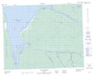
Maps showing Portage Plum Pudding, Baie-James; Jamésie, Quebec
Portage Plum Pudding is a Road feature located in Baie-James; Jamésie, Quebec.
- Latitude: 51° 22' 35'' North (decimal: 51.3764826)
- Longitude: 78° 28' 38'' West (decimal: -78.4771994)
- Topography Feature Category: Road feature
- Geographical Feature: Portage
- Canadian Province/Territory: Quebec
- Location: Baie-James; Jamésie
- GPS Coordinate Locator Map: Portage Plum Pudding Lat/Long
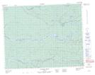
Portage Plum Pudding NTS Map Sheets