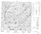
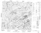
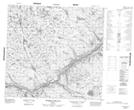
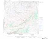
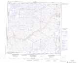
Maps showing Ruisseau Ptarmigan, Rivière-Koksoak; Kativik, Quebec
Ruisseau Ptarmigan is a River located in Rivière-Koksoak; Kativik, Quebec.
- Latitude: 58° 15' 58'' North (decimal: 58.2660391)
- Longitude: 71° 22' 55'' West (decimal: -71.3818775)
- Topography Feature Category: River
- Geographical Feature: Ruisseau
- Canadian Province/Territory: Quebec
- Location: Rivière-Koksoak; Kativik
- Atlas of Canada Locator Map: Ruisseau Ptarmigan
- GPS Coordinate Locator Map: Ruisseau Ptarmigan Lat/Long
Ruisseau Ptarmigan NTS Map Sheets