Canada Topographic Maps

Rivière Saint-Augustin Topo Maps

Topography maps and Latitude/Longitude Location

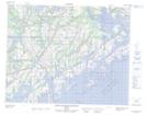
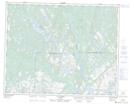
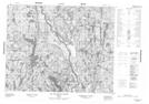
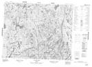
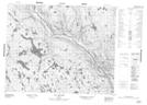
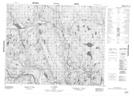
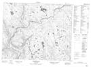
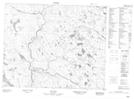
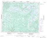
Maps showing Rivière Saint-Augustin, Saint-Augustin; Basse-Côte-Nord, Quebec

Rivière Saint-Augustin is a River located in Saint-Augustin; Basse-Côte-Nord, Quebec and has an elevation of 9 meters.

  • Latitude: 51° 13' 4'' North   (decimal: 51.2178367)
  • Longitude: 58° 38' 5'' West   (decimal: -58.6346599)
  • Topography Feature Category: River
  • Geographical Feature: Rivière
  • Canadian Province/Territory: Quebec
  • Elevation: 9 meters
  • Location: Saint-Augustin; Basse-Côte-Nord
  • Atlas of Canada Locator Map: Rivière Saint-Augustin
  • GPS Coordinate Locator Map: Rivière Saint-Augustin Lat/Long

Rivière Saint-Augustin NTS Map Sheets

012O02 St-Augustin-Saguenay Topographic Map at 1:50,000 scale

012O07 Lac Noyrot Topographic Map at 1:50,000 scale

012O10 Lac L'Ile Au Castor Topographic Map at 1:50,000 scale

012O12 Lac De Vitre Topographic Map at 1:50,000 scale

012O14 Lac Aticonipi Topographic Map at 1:50,000 scale

012O15 Lac Mery Topographic Map at 1:50,000 scale

013B03 Halfway Pond Topographic Map at 1:50,000 scale

013B06 No Title Topographic Map at 1:50,000 scale

012O Saint-Augustin Topographic Map at 1:250,000 scale

013B St Augustin River Topographic Map at 1:250,000 scale

 
Buy Topographic Maps DVD
Newsletter Sign-up

Yes, I want to receive map store discounts.


Bookmark and Share