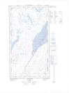
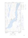
Maps showing Ruisseau Siuralik, Kuujjuaq; Kativik, Quebec
Ruisseau Siuralik is a River located in Kuujjuaq; Kativik, Quebec.
- Latitude: 58° 6' 23'' North (decimal: 58.1062647)
- Longitude: 68° 23' 28'' West (decimal: -68.3911877)
- Topography Feature Category: River
- Geographical Feature: Ruisseau
- Canadian Province/Territory: Quebec
- Location: Kuujjuaq; Kativik
- Atlas of Canada Locator Map: Ruisseau Siuralik
- GPS Coordinate Locator Map: Ruisseau Siuralik Lat/Long
Ruisseau Siuralik NTS Map Sheets