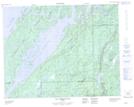
Maps showing Rivière Témiscamie, Baie-James; Jamésie, Quebec
Rivière Témiscamie is a River located in Baie-James; Jamésie, Quebec and has an elevation of 400 meters.
- Latitude: 50° 59' 39'' North (decimal: 50.9941667)
- Longitude: 73° 4' 35'' West (decimal: -73.0763888)
- Topography Feature Category: River
- Geographical Feature: Rivière
- Canadian Province/Territory: Quebec
- Elevation: 400 meters
- Location: Baie-James; Jamésie
- Atlas of Canada Locator Map: Rivière Témiscamie
- GPS Coordinate Locator Map: Rivière Témiscamie Lat/Long
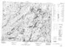
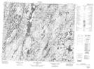
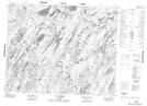
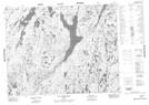
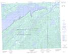
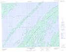
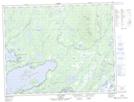
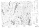
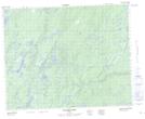
Rivière Témiscamie NTS Map Sheets
022M12 Lac L'Epinay Topographic Map at 1:50,000 scale
022M13 Lac Indicateur Topographic Map at 1:50,000 scale
023D04 Lac Laparre Topographic Map at 1:50,000 scale
032I14 Lac Bonneville Topographic Map at 1:50,000 scale
032P01 Lac Temiscamie Topographic Map at 1:50,000 scale
032P02 Lac Kallio Topographic Map at 1:50,000 scale
032P03 Ile Tchapahipane Topographic Map at 1:50,000 scale
032P07 Lac Clairy Topographic Map at 1:50,000 scale
032P08 Lac Bethoulat Topographic Map at 1:50,000 scale
032P09 Riviere Temis Topographic Map at 1:50,000 scale
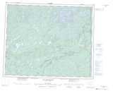
022M Lac Pletipi Topographic Map at 1:250,000 scale
023D Lac Naococane Topographic Map at 1:250,000 scale
032I Baie Abatagouche Topographic Map at 1:250,000 scale
032P Lac Baudeau Topographic Map at 1:250,000 scale