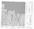
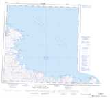
Maps showing Pointe Upirngivik, Rivière-Koksoak; Kativik, Quebec
Pointe Upirngivik is a Cape located in Rivière-Koksoak; Kativik, Quebec and has an elevation of 14 meters.
- Latitude: 61° 10' 25'' North (decimal: 61.1737146)
- Longitude: 71° 24' 26'' West (decimal: -71.4071363)
- Topography Feature Category: Cape
- Geographical Feature: Pointe
- Canadian Province/Territory: Quebec
- Elevation: 14 meters
- Location: Rivière-Koksoak; Kativik
- Atlas of Canada Locator Map: Pointe Upirngivik
- GPS Coordinate Locator Map: Pointe Upirngivik Lat/Long
Pointe Upirngivik NTS Map Sheets