Canada Topographic Maps

Rivière Vauquelin Topo Maps

Topography maps and Latitude/Longitude Location

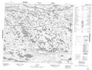
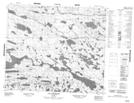
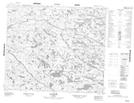
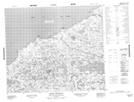
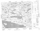
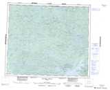
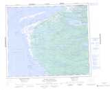
Maps showing Rivière Vauquelin, Baie-James; Jamésie, Quebec

Rivière Vauquelin is a River located in Baie-James; Jamésie, Quebec.

  • Latitude: 54° 55' 8'' North   (decimal: 54.9188889)
  • Longitude: 78° 44' 43'' West   (decimal: -78.7452778)
  • Topography Feature Category: River
  • Geographical Feature: Rivière
  • Canadian Province/Territory: Quebec
  • Location: Baie-James; Jamésie
  • Atlas of Canada Locator Map: Rivière Vauquelin
  • GPS Coordinate Locator Map: Rivière Vauquelin Lat/Long

Rivière Vauquelin NTS Map Sheets

033K11 Topographic Map at 1:50,000 scale

033K12 Lac Atichikami Topographic Map at 1:50,000 scale

033K13 Lac Revel Topographic Map at 1:50,000 scale

033L15 Pointe Vauquelin Topographic Map at 1:50,000 scale

033L16 Lac Lomier Topographic Map at 1:50,000 scale

033K Riviere Denys Topographic Map at 1:250,000 scale

033L Pointe Louis-Xiv Topographic Map at 1:250,000 scale

 
Buy Topographic Maps DVD
Newsletter Sign-up

Yes, I want to receive map store discounts.


Bookmark and Share