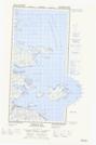
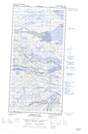
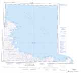
Maps showing Île Salliq, Rivière-Koksoak; Kativik, Quebec
Île Salliq is a Island located in Rivière-Koksoak; Kativik, Quebec.
- Latitude: 61° 17' 5'' North (decimal: 61.2848330)
- Longitude: 71° 39' 8'' West (decimal: -71.6522256)
- Topography Feature Category: Island
- Geographical Feature: Île / Ile
- Canadian Province/Territory: Quebec
- Location: Rivière-Koksoak; Kativik
- Atlas of Canada Locator Map: Île Salliq
- GPS Coordinate Locator Map: Île Salliq Lat/Long
Île Salliq NTS Map Sheets