Maps showing Baie James, Baie-James; Jamésie, Quebec
Baie James is a Bay located in Baie-James; Jamésie, Quebec.
- Latitude: 53° 40' North (decimal: 53.6667000)
- Longitude: 79° 5' West (decimal: -79.0833000)
- Topography Feature Category: Bay
- Geographical Feature: Golfe
- Canadian Province/Territory: Quebec
- Location: Baie-James; Jamésie
- Atlas of Canada Locator Map: Baie James
- GPS Coordinate Locator Map: Baie James Lat/Long
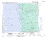
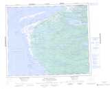
Baie James NTS Map Sheets
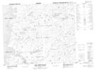
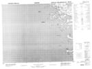
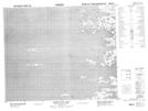
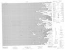
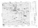
033E02 Lac Paint-Hills Topographic Map at 1:50,000 scale
033E06 Topographic Map at 1:50,000 scale
033E11 Akwatuk Bay Topographic Map at 1:50,000 scale
033E14 Stromness Island Topographic Map at 1:50,000 scale
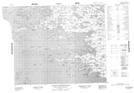
033L02 Riviere Coureaud Topographic Map at 1:50,000 scale
033L03 Pointe Kakachischuane Topographic Map at 1:50,000 scale
033L05 Bare Island Topographic Map at 1:50,000 scale
033L12 Cape Jones Island Topographic Map at 1:50,000 scale
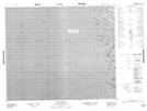
033E Riviere Au Castor Topographic Map at 1:250,000 scale
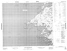
033L Pointe Louis-Xiv Topographic Map at 1:250,000 scale