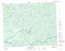
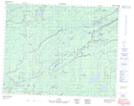
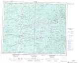
Maps showing Rivière Kaupiyeumuchaushich, Baie-James; Jamésie, Quebec
Rivière Kaupiyeumuchaushich is a River located in Baie-James; Jamésie, Quebec.
- Latitude: 51° 31' 58'' North (decimal: 51.5327778)
- Longitude: 78° 29' 19'' West (decimal: -78.4886111)
- Topography Feature Category: River
- Geographical Feature: Rivière
- Canadian Province/Territory: Quebec
- Location: Baie-James; Jamésie
- Atlas of Canada Locator Map: Rivière Kaupiyeumuchaushich
- GPS Coordinate Locator Map: Rivière Kaupiyeumuchaushich Lat/Long
Rivière Kaupiyeumuchaushich NTS Map Sheets