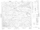
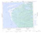
Maps showing Roggan River, Baie-James; Jamésie, Quebec
Roggan River is a Unincorporated area located in Baie-James; Jamésie, Quebec.
- Latitude: 54° 24' 42'' North (decimal: 54.4118053)
- Longitude: 79° 26' 58'' West (decimal: -79.4495572)
- Topography Feature Category: Unincorporated area
- Geographical Feature: Hameau
- Canadian Province/Territory: Quebec
- Location: Baie-James; Jamésie
- Atlas of Canada Locator Map: Roggan River
- GPS Coordinate Locator Map: Roggan River Lat/Long
Roggan River NTS Map Sheets