Canada Topographic Maps

Qaumajuliup Kuunga Topo Maps

Topography maps and Latitude/Longitude Location

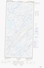
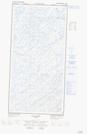
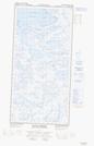
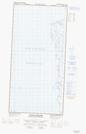
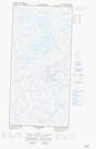
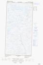
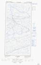
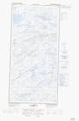
Maps showing Qaumajuliup Kuunga, Baie-d'Hudson; Kativik, Quebec

Qaumajuliup Kuunga is a River located in Baie-d'Hudson; Kativik, Quebec.

  • Latitude: 61° 23' 52'' North   (decimal: 61.3977972)
  • Longitude: 77° 36' 51'' West   (decimal: -77.6140800)
  • Topography Feature Category: River
  • Geographical Feature: Rivière
  • Canadian Province/Territory: Quebec
  • Location: Baie-d'Hudson; Kativik
  • GPS Coordinate Locator Map: Qaumajuliup Kuunga Lat/Long

Qaumajuliup Kuunga NTS Map Sheets

035F03E Lac Carye Topographic Map at 1:50,000 scale

035F03W Lac Carye Topographic Map at 1:50,000 scale

035F05E Pointe Bernier Topographic Map at 1:50,000 scale

035F05W Pointe Bernier Topographic Map at 1:50,000 scale

035F06E Lac Lanyan Topographic Map at 1:50,000 scale

035F06W Lac Lanyan Topographic Map at 1:50,000 scale

035F07E Lac Begin Topographic Map at 1:50,000 scale

035F07W Lac Begin Topographic Map at 1:50,000 scale

035F Kovik Bay Topographic Map at 1:250,000 scale

 
Buy Topographic Maps DVD
Newsletter Sign-up

Yes, I want to receive map store discounts.


Bookmark and Share