Canada Topographic Maps

Pointe Ukkusissaliup Topo Maps

Topography maps and Latitude/Longitude Location

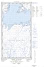
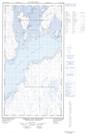
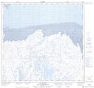
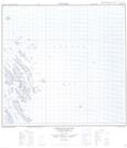
Maps showing Pointe Ukkusissaliup, Rivière-Koksoak; Kativik, Quebec

Pointe Ukkusissaliup is a Cape located in Rivière-Koksoak; Kativik, Quebec.

  • Latitude: 58° 57' 37'' North   (decimal: 58.9601743)
  • Longitude: 69° 7' 7'' West   (decimal: -69.1187099)
  • Topography Feature Category: Cape
  • Geographical Feature: Pointe
  • Canadian Province/Territory: Quebec
  • Location: Rivière-Koksoak; Kativik
  • Atlas of Canada Locator Map: Pointe Ukkusissaliup
  • GPS Coordinate Locator Map: Pointe Ukkusissaliup Lat/Long

Pointe Ukkusissaliup NTS Map Sheets

024K14E Passage Aux Feuilles Topographic Map at 1:50,000 scale

024K14W Passage Aux Feuilles Topographic Map at 1:50,000 scale

024K15 Lac Kaslac Topographic Map at 1:50,000 scale

024N02 Gyrfalcon Islands Topographic Map at 1:50,000 scale

024K Kuujjuaq Topographic Map at 1:250,000 scale

024N Hopes Advance Bay Topographic Map at 1:250,000 scale

 
Buy Topographic Maps DVD
Newsletter Sign-up

Yes, I want to receive map store discounts.


Bookmark and Share