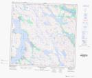
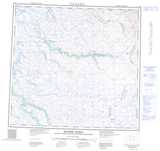
Maps showing Pointe Nuvualuk, Rivière-Koksoak; Kativik, Quebec
Pointe Nuvualuk is a Cape located in Rivière-Koksoak; Kativik, Quebec.
- Latitude: 58° 31' 31'' North (decimal: 58.5251639)
- Longitude: 65° 54' 29'' West (decimal: -65.9080227)
- Topography Feature Category: Cape
- Geographical Feature: Pointe
- Canadian Province/Territory: Quebec
- Location: Rivière-Koksoak; Kativik
- Atlas of Canada Locator Map: Pointe Nuvualuk
- GPS Coordinate Locator Map: Pointe Nuvualuk Lat/Long
Pointe Nuvualuk NTS Map Sheets