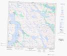
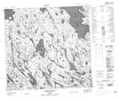
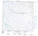
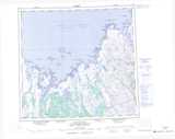
Maps showing Presqu'île Qikirtaujaq, Rivière-Koksoak; Kativik, Quebec
Presqu'île Qikirtaujaq is a Cape located in Rivière-Koksoak; Kativik, Quebec.
- Latitude: 58° 38' 3'' North (decimal: 58.6340543)
- Longitude: 65° 59' 10'' West (decimal: -65.9860810)
- Topography Feature Category: Cape
- Geographical Feature: Presqu'île
- Canadian Province/Territory: Quebec
- Location: Rivière-Koksoak; Kativik
- Atlas of Canada Locator Map: Presqu'île Qikirtaujaq
- GPS Coordinate Locator Map: Presqu'île Qikirtaujaq Lat/Long
Presqu'île Qikirtaujaq NTS Map Sheets