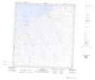
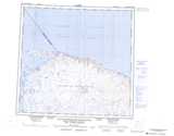
Maps showing Lac Ullugumitarvik, Baie-d'Hudson; Kativik, Quebec
Lac Ullugumitarvik is a Lake located in Baie-d'Hudson; Kativik, Quebec and has an elevation of 178 meters.
- Latitude: 62° 22' 41'' North (decimal: 62.3781105)
- Longitude: 77° 40' 38'' West (decimal: -77.6770985)
- Topography Feature Category: Lake
- Geographical Feature: Lac
- Canadian Province/Territory: Quebec
- Elevation: 178 meters
- Location: Baie-d'Hudson; Kativik
- Atlas of Canada Locator Map: Lac Ullugumitarvik
- GPS Coordinate Locator Map: Lac Ullugumitarvik Lat/Long
Lac Ullugumitarvik NTS Map Sheets