Canada Topographic Maps

Big Creek Topo Maps

Topography maps and Latitude/Longitude Location

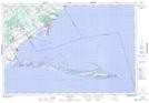
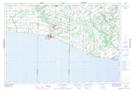
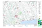
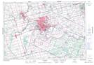
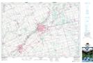
Maps showing Big Creek, Norfolk, Ontario

Big Creek is a River located in Norfolk, Ontario and has an elevation of 201 meters.

  • Latitude: 42° 36' 8'' North   (decimal: 42.6022222)
  • Longitude: 80° 27' 6'' West   (decimal: -80.4516666)
  • Topography Feature Category: River
  • Geographical Feature: Creek
  • Canadian Province/Territory: Ontario
  • Elevation: 201 meters
  • Location: Norfolk
  • Atlas of Canada Locator Map: Big Creek
  • GPS Coordinate Locator Map: Big Creek Lat/Long

Big Creek NTS Map Sheets

040I09 Long Point Topographic Map at 1:50,000 scale

040I10 Port Burwell Topographic Map at 1:50,000 scale

040I15 Tillsonburg Topographic Map at 1:50,000 scale

040I16 Simcoe Topographic Map at 1:50,000 scale

040P01 Brantford Topographic Map at 1:50,000 scale

040P02 Woodstock Topographic Map at 1:50,000 scale

040I Erie Topographic Map at 1:250,000 scale

040P Kitchener Topographic Map at 1:250,000 scale

 
Buy Topographic Maps DVD
Newsletter Sign-up

Yes, I want to receive map store discounts.


Bookmark and Share