Canada Topographic Maps

Black River Topo Maps

Topography maps and Latitude/Longitude Location

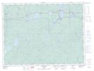
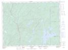
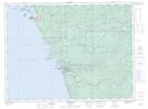
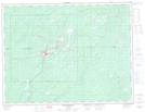
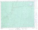
Maps showing Black River, Thunder Bay, Ontario

Black River is a River located in Thunder Bay, Ontario and has an elevation of 272 meters.

  • Latitude: 48° 37' 41'' North   (decimal: 48.6280555)
  • Longitude: 86° 15' 50'' West   (decimal: -86.2638888)
  • Topography Feature Category: River
  • Geographical Feature: River
  • Canadian Province/Territory: Ontario
  • Elevation: 272 meters
  • Location: Thunder Bay
  • Atlas of Canada Locator Map: Black River
  • GPS Coordinate Locator Map: Black River Lat/Long

Black River NTS Map Sheets

042C12 Cedar Lake Topographic Map at 1:50,000 scale

042C13 White Lake Topographic Map at 1:50,000 scale

042D09 Marathon Topographic Map at 1:50,000 scale

042F04 Manitouwadge Topographic Map at 1:50,000 scale

042F05 White Otter River Topographic Map at 1:50,000 scale

042C White River Topographic Map at 1:250,000 scale

042D Schreiber Topographic Map at 1:250,000 scale

042F Hornepayne Topographic Map at 1:250,000 scale

 
Buy Topographic Maps DVD
Newsletter Sign-up

Yes, I want to receive map store discounts.


Bookmark and Share