Maps showing Lake Nipigon, Thunder Bay, Ontario
Lake Nipigon is a Lake located in Thunder Bay, Ontario and has an elevation of 266 meters.
- Latitude: 49° 50' North (decimal: 49.8333333)
- Longitude: 88° 30' West (decimal: -88.4999999)
- Topography Feature Category: Lake
- Geographical Feature: Lake
- Canadian Province/Territory: Ontario
- Elevation: 266 meters
- Location: Thunder Bay
- Atlas of Canada Locator Map: Lake Nipigon
- GPS Coordinate Locator Map: Lake Nipigon Lat/Long
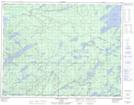
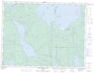
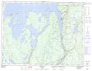
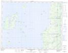
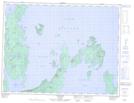
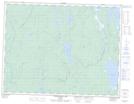
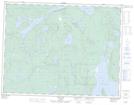
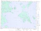
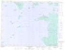
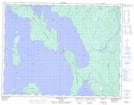
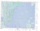
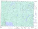
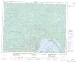
Lake Nipigon NTS Map Sheets
042E13 North Wind Lake Topographic Map at 1:50,000 scale
052H07 Black Sturgeon Lake Topographic Map at 1:50,000 scale
052H08 Orient Bay Topographic Map at 1:50,000 scale
052H09 Shakespeare Island Topographic Map at 1:50,000 scale
052H10 Grand Bay Topographic Map at 1:50,000 scale
052H11 Kabitotikwia Lake Topographic Map at 1:50,000 scale
052H14 Gull Bay Topographic Map at 1:50,000 scale
052H15 Kelvin Island Topographic Map at 1:50,000 scale
052H16 Livingstone Point Topographic Map at 1:50,000 scale
052I01 Ombabika Bay Topographic Map at 1:50,000 scale
052I02 Castle Lake Topographic Map at 1:50,000 scale
052I07 Pikitigushi Lake Topographic Map at 1:50,000 scale
052I08 Little Jackfish River Topographic Map at 1:50,000 scale
042E Longlac Topographic Map at 1:250,000 scale
052H Nipigon Topographic Map at 1:250,000 scale
052I Armstrong Topographic Map at 1:250,000 scale