Maps showing Oxford, Ontario
Oxford is a Geographical area located in Ontario.
- Latitude: 43° 6' 20'' North (decimal: 43.1055555)
- Longitude: 80° 48' 3'' West (decimal: -80.8008333)
- Topography Feature Category: Geographical area
- Geographical Feature: Geographic County
- Canadian Province/Territory: Ontario
- Atlas of Canada Locator Map: Oxford
- GPS Coordinate Locator Map: Oxford Lat/Long
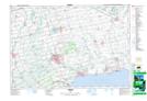
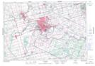
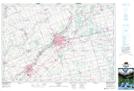
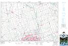
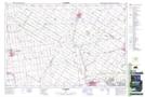
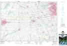
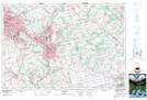
Oxford NTS Map Sheets
040I15 Tillsonburg Topographic Map at 1:50,000 scale
040I16 Simcoe Topographic Map at 1:50,000 scale
040P01 Brantford Topographic Map at 1:50,000 scale
040P02 Woodstock Topographic Map at 1:50,000 scale
040P03 Lucan Topographic Map at 1:50,000 scale
040P06 St Marys Topographic Map at 1:50,000 scale
040P07 Stratford Topographic Map at 1:50,000 scale
040P08 Cambridge Topographic Map at 1:50,000 scale
040I Erie Topographic Map at 1:250,000 scale
040P Kitchener Topographic Map at 1:250,000 scale