Maps showing Drowning River, Cochrane, Ontario
Drowning River is a River located in Cochrane, Ontario and has an elevation of 122 meters.
- Latitude: 50° 54' 18'' North (decimal: 50.9049999)
- Longitude: 84° 34' 16'' West (decimal: -84.5711111)
- Topography Feature Category: River
- Geographical Feature: River
- Canadian Province/Territory: Ontario
- Elevation: 122 meters
- Location: Cochrane
- Atlas of Canada Locator Map: Drowning River
- GPS Coordinate Locator Map: Drowning River Lat/Long
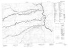
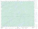
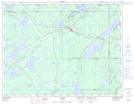
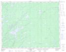
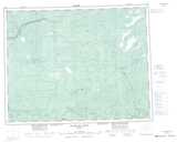
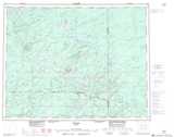
Drowning River NTS Map Sheets
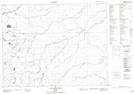
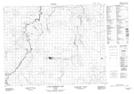
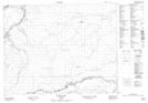
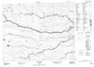
042K05 Legarde River Topographic Map at 1:50,000 scale
042K11 Little Drowning Lake Topographic Map at 1:50,000 scale
042K12 Furry Lake Topographic Map at 1:50,000 scale
042K14 Britt Creek Topographic Map at 1:50,000 scale
042K15 Little Drowning River Topographic Map at 1:50,000 scale
042L01 Grant Topographic Map at 1:50,000 scale
042L02 Nakina Topographic Map at 1:50,000 scale
042L08 Wababimiga Lake Topographic Map at 1:50,000 scale
042K Kenogami River Topographic Map at 1:250,000 scale
042L Nakina Topographic Map at 1:250,000 scale