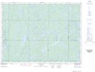
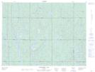
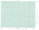
Maps showing Hassard Creek, Sudbury, Ontario
Hassard Creek is a River located in Sudbury, Ontario and has an elevation of 363 meters.
- Latitude: 47° 53' 1'' North (decimal: 47.8836111)
- Longitude: 81° 29' 25'' West (decimal: -81.4902777)
- Topography Feature Category: River
- Geographical Feature: Creek
- Canadian Province/Territory: Ontario
- Elevation: 363 meters
- Location: Sudbury
- Atlas of Canada Locator Map: Hassard Creek
- GPS Coordinate Locator Map: Hassard Creek Lat/Long
Hassard Creek NTS Map Sheets