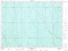
Maps showing High Falls, Cochrane, Ontario
High Falls is a Falls located in Cochrane, Ontario.
- Latitude: 48° 47' 34'' North (decimal: 48.7927777)
- Longitude: 81° 0' 51'' West (decimal: -81.0141666)
- Topography Feature Category: Falls
- Geographical Feature: Falls
- Canadian Province/Territory: Ontario
- Location: Cochrane
- Atlas of Canada Locator Map: High Falls
- GPS Coordinate Locator Map: High Falls Lat/Long
High Falls NTS Map Sheets