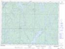
Maps showing Horwood Lake, Sudbury, Ontario
Horwood Lake is a Lake located in Sudbury, Ontario and has an elevation of 352 meters.
- Latitude: 47° 58' 37'' North (decimal: 47.9769444)
- Longitude: 82° 19' 34'' West (decimal: -82.3261111)
- Topography Feature Category: Lake
- Geographical Feature: Lake
- Canadian Province/Territory: Ontario
- Elevation: 352 meters
- Location: Sudbury
- Atlas of Canada Locator Map: Horwood Lake
- GPS Coordinate Locator Map: Horwood Lake Lat/Long
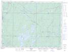
Horwood Lake NTS Map Sheets