Canada Topographic Maps

Howard Topo Maps

Topography maps and Latitude/Longitude Location

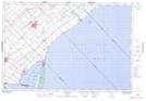
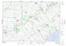
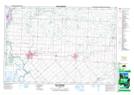
Maps showing Howard, Kent, Ontario

Howard is a Geographical area located in Kent, Ontario.

  • Latitude: 42° 27' 56'' North   (decimal: 42.4655555)
  • Longitude: 81° 54' 57'' West   (decimal: -81.9158333)
  • Topography Feature Category: Geographical area
  • Geographical Feature: Geographic Township
  • Canadian Province/Territory: Ontario
  • Location: Kent
  • Atlas of Canada Locator Map: Howard
  • GPS Coordinate Locator Map: Howard Lat/Long

Howard NTS Map Sheets

040I05 Ridgetown Topographic Map at 1:50,000 scale

040I12 Bothwell Topographic Map at 1:50,000 scale

040J08 Chatham Topographic Map at 1:50,000 scale

040J09 Wallaceburg Topographic Map at 1:50,000 scale

040I Erie Topographic Map at 1:250,000 scale

040J Detroit Topographic Map at 1:250,000 scale

 
Buy Topographic Maps DVD
Newsletter Sign-up

Yes, I want to receive map store discounts.


Bookmark and Share