Canada Topographic Maps

Ivanhoe River Topo Maps

Topography maps and Latitude/Longitude Location

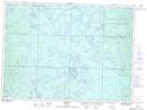
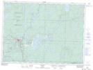
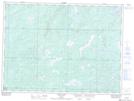
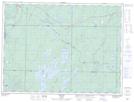
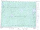
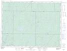
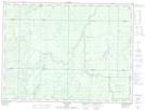
Maps showing Ivanhoe River, Cochrane, Ontario

Ivanhoe River is a River located in Cochrane, Ontario and has an elevation of 272 meters.

  • Latitude: 48° 40' 27'' North   (decimal: 48.6741666)
  • Longitude: 82° 11' 28'' West   (decimal: -82.1911111)
  • Topography Feature Category: River
  • Geographical Feature: River
  • Canadian Province/Territory: Ontario
  • Elevation: 272 meters
  • Location: Cochrane
  • Atlas of Canada Locator Map: Ivanhoe River
  • GPS Coordinate Locator Map: Ivanhoe River Lat/Long

Ivanhoe River NTS Map Sheets

041O11 Nemegos Topographic Map at 1:50,000 scale

041O14 Chapleau Topographic Map at 1:50,000 scale

041O15 Rollo Lake Topographic Map at 1:50,000 scale

042B01 Foleyet Topographic Map at 1:50,000 scale

042B02 Ivanhoe Lake Topographic Map at 1:50,000 scale

042B08 Oswald Lake Topographic Map at 1:50,000 scale

042B09 Elf Lake Topographic Map at 1:50,000 scale

041O Chapleau Topographic Map at 1:250,000 scale

042B Foleyet Topographic Map at 1:250,000 scale

 
Buy Topographic Maps DVD
Newsletter Sign-up

Yes, I want to receive map store discounts.


Bookmark and Share