Canada Topographic Maps

Kapuskasing River Topo Maps

Topography maps and Latitude/Longitude Location

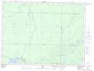
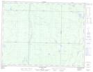
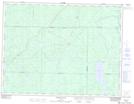
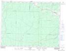
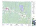
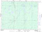
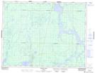
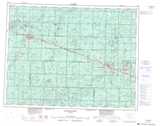
Maps showing Kapuskasing River, Cochrane, Ontario

Kapuskasing River is a River located in Cochrane, Ontario and has an elevation of 195 meters.

  • Latitude: 49° 48' 31'' North   (decimal: 49.8086111)
  • Longitude: 82° 0' 10'' West   (decimal: -82.0027777)
  • Topography Feature Category: River
  • Geographical Feature: River
  • Canadian Province/Territory: Ontario
  • Elevation: 195 meters
  • Location: Cochrane
  • Atlas of Canada Locator Map: Kapuskasing River
  • GPS Coordinate Locator Map: Kapuskasing River Lat/Long

Kapuskasing River NTS Map Sheets

042B10 Elsas Topographic Map at 1:50,000 scale

042B15 Allenby Creek Topographic Map at 1:50,000 scale

042G02 Woman Falls Topographic Map at 1:50,000 scale

042G07 Val Rita Topographic Map at 1:50,000 scale

042G08 Kapuskasing Topographic Map at 1:50,000 scale

042G09 Pearce Lake Topographic Map at 1:50,000 scale

042G16 Bennet Lake Topographic Map at 1:50,000 scale

042B Foleyet Topographic Map at 1:250,000 scale

042G Kapuskasing Topographic Map at 1:250,000 scale

 
Buy Topographic Maps DVD
Newsletter Sign-up

Yes, I want to receive map store discounts.


Bookmark and Share