Maps showing Lawagamau River, Cochrane, Ontario
Lawagamau River is a River located in Cochrane, Ontario.
- Latitude: 51° 3' 57'' North (decimal: 51.0658333)
- Longitude: 79° 43' 55'' West (decimal: -79.7319444)
- Topography Feature Category: River
- Geographical Feature: River
- Canadian Province/Territory: Ontario
- Location: Cochrane
- Atlas of Canada Locator Map: Lawagamau River
- GPS Coordinate Locator Map: Lawagamau River Lat/Long
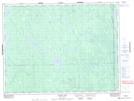
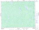
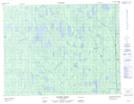
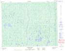
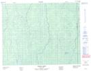
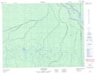
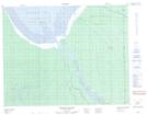
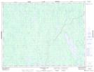
Lawagamau River NTS Map Sheets
032E12 Chabbie Lake Topographic Map at 1:50,000 scale
032E13 Detour Lake Topographic Map at 1:50,000 scale
032L04 Hopper Creek Topographic Map at 1:50,000 scale
032L05 Corner Lakes Topographic Map at 1:50,000 scale
032L12 Hoelke Creek Topographic Map at 1:50,000 scale
032L13 Atik River Topographic Map at 1:50,000 scale
032M04 Francis Island Topographic Map at 1:50,000 scale
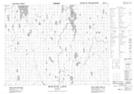
042H16 Lawagamau Lake Topographic Map at 1:50,000 scale
042I01 Ministik Lake Topographic Map at 1:50,000 scale
032E Joutel Topographic Map at 1:250,000 scale
032L Riviere Harricana Topographic Map at 1:250,000 scale
032M Fort-Rupert Topographic Map at 1:250,000 scale
042H Cochrane Topographic Map at 1:250,000 scale
042I Moose River Topographic Map at 1:250,000 scale