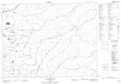
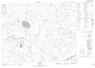
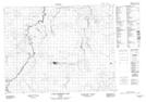
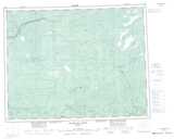
Maps showing Legarde River, Cochrane, Ontario
Legarde River is a River located in Cochrane, Ontario and has an elevation of 175 meters.
- Latitude: 50° 32' 8'' North (decimal: 50.5355555)
- Longitude: 85° 29' 15'' West (decimal: -85.4874999)
- Topography Feature Category: River
- Geographical Feature: River
- Canadian Province/Territory: Ontario
- Elevation: 175 meters
- Location: Cochrane
- Atlas of Canada Locator Map: Legarde River
- GPS Coordinate Locator Map: Legarde River Lat/Long
Legarde River NTS Map Sheets