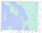
Maps showing Leo Island, Ontario
Leo Island is a Island located in Ontario.
- Latitude: 50° 12' 35'' North (decimal: 50.2097000)
- Longitude: 88° 17' 58'' West (decimal: -88.2994000)
- Topography Feature Category: Island
- Geographical Feature: Island
- Canadian Province/Territory: Ontario
- GPS Coordinate Locator Map: Leo Island Lat/Long
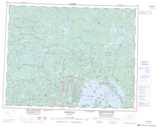
Leo Island NTS Map Sheets