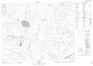
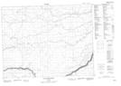
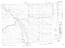
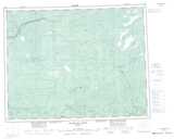
Maps showing Little Ash River, Cochrane, Ontario
Little Ash River is a River located in Cochrane, Ontario and has an elevation of 138 meters.
- Latitude: 50° 27' 41'' North (decimal: 50.4613888)
- Longitude: 84° 26' 24'' West (decimal: -84.4400000)
- Topography Feature Category: River
- Geographical Feature: River
- Canadian Province/Territory: Ontario
- Elevation: 138 meters
- Location: Cochrane
- Atlas of Canada Locator Map: Little Ash River
- GPS Coordinate Locator Map: Little Ash River Lat/Long
Little Ash River NTS Map Sheets