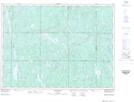
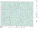
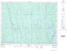
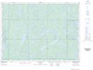
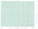
Maps showing Mattagami Lake, Sudbury, Ontario
Mattagami Lake is a Lake located in Sudbury, Ontario and has an elevation of 335 meters.
- Latitude: 47° 50' 9'' North (decimal: 47.8358333)
- Longitude: 81° 33' 39'' West (decimal: -81.5608333)
- Topography Feature Category: Lake
- Geographical Feature: Lake
- Canadian Province/Territory: Ontario
- Elevation: 335 meters
- Location: Sudbury
- Atlas of Canada Locator Map: Mattagami Lake
- GPS Coordinate Locator Map: Mattagami Lake Lat/Long
Mattagami Lake NTS Map Sheets
041P11 Shining Tree Topographic Map at 1:50,000 scale
041P12 Gogama Topographic Map at 1:50,000 scale
041P13 Mattagami Lake Topographic Map at 1:50,000 scale
041P14 Sinclair Lake Topographic Map at 1:50,000 scale
042A04 Kenogaming Lake Topographic Map at 1:50,000 scale
041P Gogama Topographic Map at 1:250,000 scale
042A Timmins Topographic Map at 1:250,000 scale