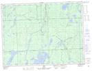
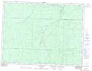
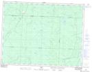
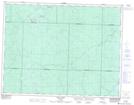
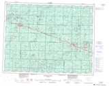
Maps showing Mattawitchewan River, Cochrane, Ontario
Mattawitchewan River is a River located in Cochrane, Ontario and has an elevation of 242 meters.
- Latitude: 49° 21' 47'' North (decimal: 49.3630555)
- Longitude: 83° 26' 28'' West (decimal: -83.4411111)
- Topography Feature Category: River
- Geographical Feature: River
- Canadian Province/Territory: Ontario
- Elevation: 242 meters
- Location: Cochrane
- Atlas of Canada Locator Map: Mattawitchewan River
- GPS Coordinate Locator Map: Mattawitchewan River Lat/Long
Mattawitchewan River NTS Map Sheets