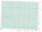
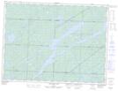
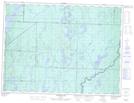
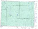
Maps showing Missinaibi Lake, Algoma; Sudbury, Ontario
Missinaibi Lake is a Lake located in Algoma; Sudbury, Ontario and has an elevation of 318 meters.
- Latitude: 48° 21' 24'' North (decimal: 48.3566666)
- Longitude: 83° 41' 29'' West (decimal: -83.6913888)
- Topography Feature Category: Lake
- Geographical Feature: Lake
- Canadian Province/Territory: Ontario
- Elevation: 318 meters
- Location: Algoma; Sudbury
- Atlas of Canada Locator Map: Missinaibi Lake
- GPS Coordinate Locator Map: Missinaibi Lake Lat/Long
Missinaibi Lake NTS Map Sheets