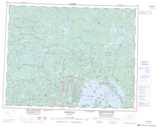
Maps showing Mojikit Rapids, Thunder Bay, Ontario
Mojikit Rapids is a Rapids located in Thunder Bay, Ontario.
- Latitude: 50° 46' North (decimal: 50.7666999)
- Longitude: 88° 11' West (decimal: -88.1833000)
- Topography Feature Category: Rapids
- Geographical Feature: Rapids
- Canadian Province/Territory: Ontario
- Location: Thunder Bay
- GPS Coordinate Locator Map: Mojikit Rapids Lat/Long
Mojikit Rapids NTS Map Sheets