Canada Topographic Maps

Squaw River Topo Maps

Topography maps and Latitude/Longitude Location

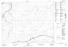
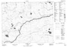
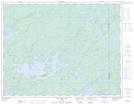
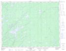
Maps showing Squaw River, Cochrane, Ontario

Squaw River is a River located in Cochrane, Ontario and has an elevation of 182 meters.

  • Latitude: 50° 45' 13'' North   (decimal: 50.7536000)
  • Longitude: 85° 54' 31'' West   (decimal: -85.9085999)
  • Topography Feature Category: River
  • Geographical Feature: River
  • Canadian Province/Territory: Ontario
  • Elevation: 182 meters
  • Location: Cochrane
  • GPS Coordinate Locator Map: Squaw River Lat/Long

Squaw River NTS Map Sheets

042K12 Furry Lake Topographic Map at 1:50,000 scale

042K13 Barber Lake Topographic Map at 1:50,000 scale

042L07 Esnagami Lake Topographic Map at 1:50,000 scale

042L08 Wababimiga Lake Topographic Map at 1:50,000 scale

042L09 Louella Falls Topographic Map at 1:50,000 scale

042K Kenogami River Topographic Map at 1:250,000 scale

042L Nakina Topographic Map at 1:250,000 scale

 
Buy Topographic Maps DVD
Newsletter Sign-up

Yes, I want to receive map store discounts.


Bookmark and Share