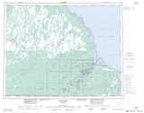
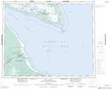
Maps showing Stooping River, Cochrane, Ontario
Stooping River is a River located in Cochrane, Ontario.
- Latitude: 52° 9' 48'' North (decimal: 52.1633333)
- Longitude: 81° 53' 30'' West (decimal: -81.8916666)
- Topography Feature Category: River
- Geographical Feature: River
- Canadian Province/Territory: Ontario
- Location: Cochrane
- Atlas of Canada Locator Map: Stooping River
- GPS Coordinate Locator Map: Stooping River Lat/Long
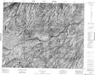
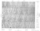
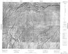
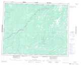
Stooping River NTS Map Sheets
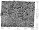
042O02 Sandbank Lake Topographic Map at 1:50,000 scale
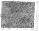
042O07 Rabkin Lake Topographic Map at 1:50,000 scale
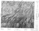
042O10 Brovender River Topographic Map at 1:50,000 scale
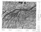
042O15 Fishing Creek Island Topographic Map at 1:50,000 scale
042O16 Byrd Island Topographic Map at 1:50,000 scale
042P13 No Title Topographic Map at 1:50,000 scale
043A04 Sinclair Island Topographic Map at 1:50,000 scale
042O Ghost River Topographic Map at 1:250,000 scale
042P Moosonee Topographic Map at 1:250,000 scale
043A Fort Albany Topographic Map at 1:250,000 scale