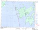
Maps showing Tent Island, Kenora, Ontario
Tent Island is a Island located in Kenora, Ontario and has an elevation of 333 meters.
- Latitude: 49° 9' 6'' North (decimal: 49.1516666)
- Longitude: 94° 32' 26'' West (decimal: -94.5405555)
- Topography Feature Category: Island
- Geographical Feature: Island
- Canadian Province/Territory: Ontario
- Elevation: 333 meters
- Location: Kenora
- Atlas of Canada Locator Map: Tent Island
- GPS Coordinate Locator Map: Tent Island Lat/Long