Canada Topographic Maps

Timmins Topo Maps

Topography maps and Latitude/Longitude Location

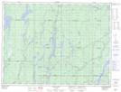
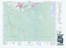
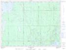
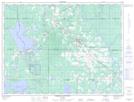
Maps showing Timmins, Cochrane, Ontario

Timmins is a City located in Cochrane, Ontario and has an elevation of 306 meters.

  • Latitude: 48° 28' 18'' North   (decimal: 48.4716666)
  • Longitude: 81° 19' 53'' West   (decimal: -81.3313888)
  • Topography Feature Category: City
  • Geographical Feature: City
  • Canadian Province/Territory: Ontario
  • Elevation: 306 meters
  • Location: Cochrane
  • Atlas of Canada Locator Map: Timmins
  • GPS Coordinate Locator Map: Timmins Lat/Long

Timmins NTS Map Sheets

042A05 Dana Lake Topographic Map at 1:50,000 scale

042A06 Timmins Topographic Map at 1:50,000 scale

042A07 Watabeag River Topographic Map at 1:50,000 scale

042A10 Porquis Junction Topographic Map at 1:50,000 scale

042A11 Pamour Topographic Map at 1:50,000 scale

042A12 Kamiskotia Lake Topographic Map at 1:50,000 scale

042A Timmins Topographic Map at 1:250,000 scale

 
Buy Topographic Maps DVD
Newsletter Sign-up

Yes, I want to receive map store discounts.


Bookmark and Share