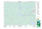
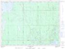
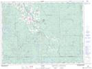
Maps showing Tolstoi Creek, Timiskaming, Ontario
Tolstoi Creek is a River located in Timiskaming, Ontario and has an elevation of 337 meters.
- Latitude: 48° 15' 40'' North (decimal: 48.2611111)
- Longitude: 80° 30' 55'' West (decimal: -80.5152777)
- Topography Feature Category: River
- Geographical Feature: Creek
- Canadian Province/Territory: Ontario
- Elevation: 337 meters
- Location: Timiskaming
- Atlas of Canada Locator Map: Tolstoi Creek
- GPS Coordinate Locator Map: Tolstoi Creek Lat/Long
Tolstoi Creek NTS Map Sheets