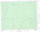
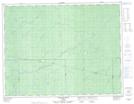
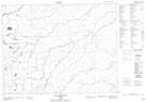
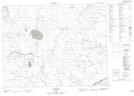
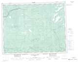
Maps showing Watistiguam River, Cochrane, Ontario
Watistiguam River is a River located in Cochrane, Ontario and has an elevation of 177 meters.
- Latitude: 50° 13' 29'' North (decimal: 50.2247222)
- Longitude: 85° 13' 14'' West (decimal: -85.2205555)
- Topography Feature Category: River
- Geographical Feature: River
- Canadian Province/Territory: Ontario
- Elevation: 177 meters
- Location: Cochrane
- Atlas of Canada Locator Map: Watistiguam River
- GPS Coordinate Locator Map: Watistiguam River Lat/Long
Watistiguam River NTS Map Sheets