Canada Topographic Maps

White Otter River Topo Maps

Topography maps and Latitude/Longitude Location

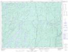
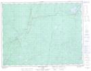
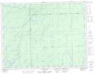
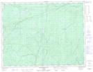
Maps showing White Otter River, Thunder Bay, Ontario

White Otter River is a River located in Thunder Bay, Ontario and has an elevation of 285 meters.

  • Latitude: 49° 18' 35'' North   (decimal: 49.3097222)
  • Longitude: 86° 2' 15'' West   (decimal: -86.0375000)
  • Topography Feature Category: River
  • Geographical Feature: River
  • Canadian Province/Territory: Ontario
  • Elevation: 285 meters
  • Location: Thunder Bay
  • Atlas of Canada Locator Map: White Otter River
  • GPS Coordinate Locator Map: White Otter River Lat/Long

White Otter River NTS Map Sheets

042E08 Kagiano Lake Topographic Map at 1:50,000 scale

042F05 White Otter River Topographic Map at 1:50,000 scale

042F11 Osawin River Topographic Map at 1:50,000 scale

042F12 Kassagimini Lake Topographic Map at 1:50,000 scale

042E Longlac Topographic Map at 1:250,000 scale

042F Hornepayne Topographic Map at 1:250,000 scale

 
Buy Topographic Maps DVD
Newsletter Sign-up

Yes, I want to receive map store discounts.


Bookmark and Share