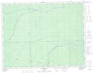
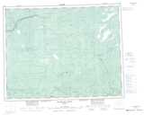
Maps showing Wilgar, Cochrane, Ontario
Wilgar is a Unincorporated area located in Cochrane, Ontario and has an elevation of 203 meters.
- Latitude: 50° 1' 51'' North (decimal: 50.0308333)
- Longitude: 85° 25' 6'' West (decimal: -85.4183333)
- Topography Feature Category: Unincorporated area
- Geographical Feature: Railway Point
- Canadian Province/Territory: Ontario
- Elevation: 203 meters
- Location: Cochrane
- Atlas of Canada Locator Map: Wilgar
- GPS Coordinate Locator Map: Wilgar Lat/Long
Wilgar NTS Map Sheets