Canada Topographic Maps

Winget Topo Maps

Topography maps and Latitude/Longitude Location

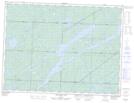
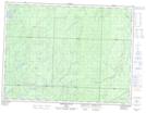
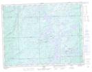
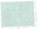
Maps showing Winget, Algoma, Ontario

Winget is a Geographical area located in Algoma, Ontario.

  • Latitude: 48° 29' 38'' North   (decimal: 48.4938888)
  • Longitude: 83° 56' 4'' West   (decimal: -83.9344444)
  • Topography Feature Category: Geographical area
  • Geographical Feature: Geographic Township
  • Canadian Province/Territory: Ontario
  • Location: Algoma
  • Atlas of Canada Locator Map: Winget
  • GPS Coordinate Locator Map: Winget Lat/Long

Winget NTS Map Sheets

042B05 Missinaibi Lake Topographic Map at 1:50,000 scale

042B12 Greenhill River Topographic Map at 1:50,000 scale

042C08 Franz Topographic Map at 1:50,000 scale

042C09 Oba Lake Topographic Map at 1:50,000 scale

042B Foleyet Topographic Map at 1:250,000 scale

042C White River Topographic Map at 1:250,000 scale

 
Buy Topographic Maps DVD
Newsletter Sign-up

Yes, I want to receive map store discounts.


Bookmark and Share