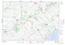
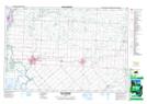
Maps showing North Thamesville, Kent, Ontario
North Thamesville is a Unincorporated area located in Kent, Ontario and has an elevation of 184 meters.
- Latitude: 42° 34' 8'' North (decimal: 42.5688888)
- Longitude: 82° 0' 6'' West (decimal: -82.0016666)
- Topography Feature Category: Unincorporated area
- Geographical Feature: Dispersed Rural Community
- Canadian Province/Territory: Ontario
- Elevation: 184 meters
- Location: Kent
- Atlas of Canada Locator Map: North Thamesville
- GPS Coordinate Locator Map: North Thamesville Lat/Long
North Thamesville NTS Map Sheets